Introducing the Grayson Gravel Traverse
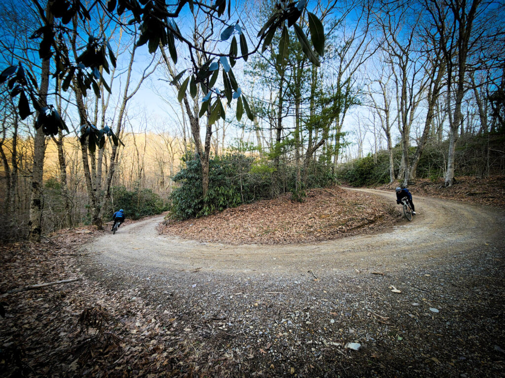
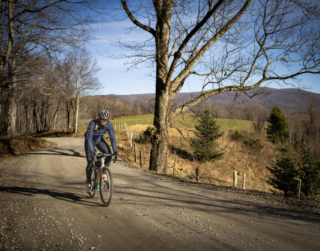
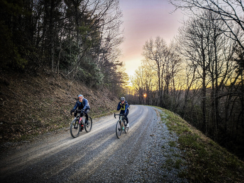
The Grayson Gravel Traverse is a 72-mile mixed-surface gravel bike route that connects the Virginia Creeper Trail and New River Trail over well-maintained and remote roads featuring a variety of challenging climbs. This west-to-east route follows a series of state-maintained gravel and paved roads through the foothills just south of the Grayson Highlands, home to Virginia’s highest peaks. It weaves across clear mountain-fed creeks and quiet valleys, offering a challenging, scenic ride through one of the most under-explored cycling regions in the state.
While the Traverse itself is 72 miles, riders looking for longer adventures can choose from two extended options. The 143-mile “Circuit” returns to Whitetop Station via a northern track through the Jefferson National Forest. For a full point-to-point experience, the 148-mile “Long Haul” stretches from Abingdon at the western end of the Creeper Trail to Pulaski at the eastern end of the New River Trail. Independence, VA at the heart of the route makes a convenient base for endless options of day rides and short tours. In addition to the Grayson Gravel Circuit, another option is to use the TransVirginia Bike Route for a northern return loop from the New River Trail at the Byllesby Dam back to Whitetop Station farther north. See “Trip Itineraries” below.
View a Collection of Grayson Gravel Routes: https://ridewithgps.com/collections/41362
Nestled in Virginia’s southwestern corner, Grayson County stretches from the highlands near Mt. Rogers, the state’s highest peak, down through rolling hills and creeks to the New River near the North Carolina border. The Mount Rogers National Recreation Area at the northern edge offers a dramatic backdrop to the county’s varied landscape.
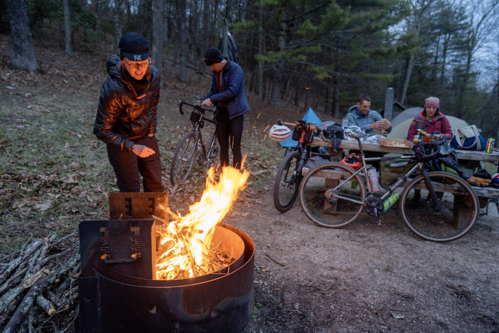
Grayson offers gravel cyclists a network of rural roads that pass through quiet farming communities, sleepy backroads, and scenic ridgelines. Expect steep climbs, rewarding views, and a sense of discovery as you pedal through areas few cyclists have explored. Lodging, campgrounds, and scattered country stores provide support for overnight bikepacking, day trips, or “credit card touring” (utilizing lodging to travel without camping gear).
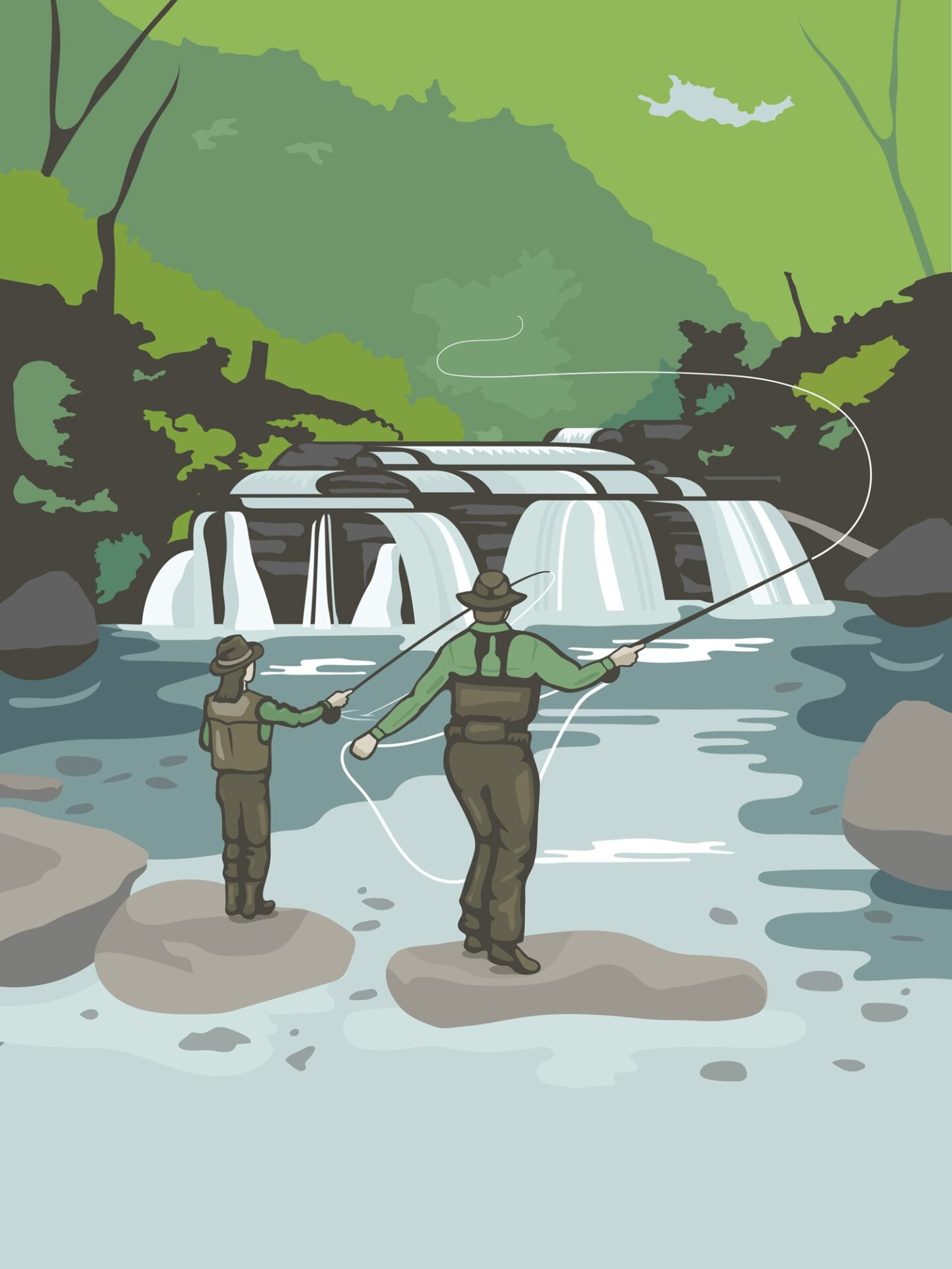
The route winds past Christmas tree farms, cattle pastures, and hilltop chapels, with small towns that retain a strong sense of place. Plan your ride around fall foliage in October, or catch a local bluegrass festival to experience the area’s rich musical heritage. Country stores offer chances to rest, refuel, and connect with locals.
Trip Planning
Digital Maps on Ride With GPS
Ride with GPS is a popular digital mapping and routing website and mobile phone application that lets cyclists find routes that are relevant to their interests, see its details (distance, elevation profile, road surfaces) and points of interest, as well as navigate the route either using the Ride with GPS app or by syncing it to their own cycling GPS (Garmin, Wahoo, etc.).
Ride with GPS offers free subscription levels to access information and use its website and mobile app.
Collection of Grayson Gravel Routes: https://ridewithgps.com/collections/41362
When to go
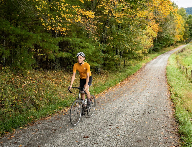
The best riding season runs from April through October. Spring brings vibrant greens and blooming wildflowers by late April, while October offers brilliant fall color. Though summer can be warm, much of the route benefits from shade and cooler temperatures at higher elevations. Be prepared for chilly nights or occasional snowfall in the shoulder seasons, especially at higher altitudes.
What type of bike to use (tires, gearing, etc.)
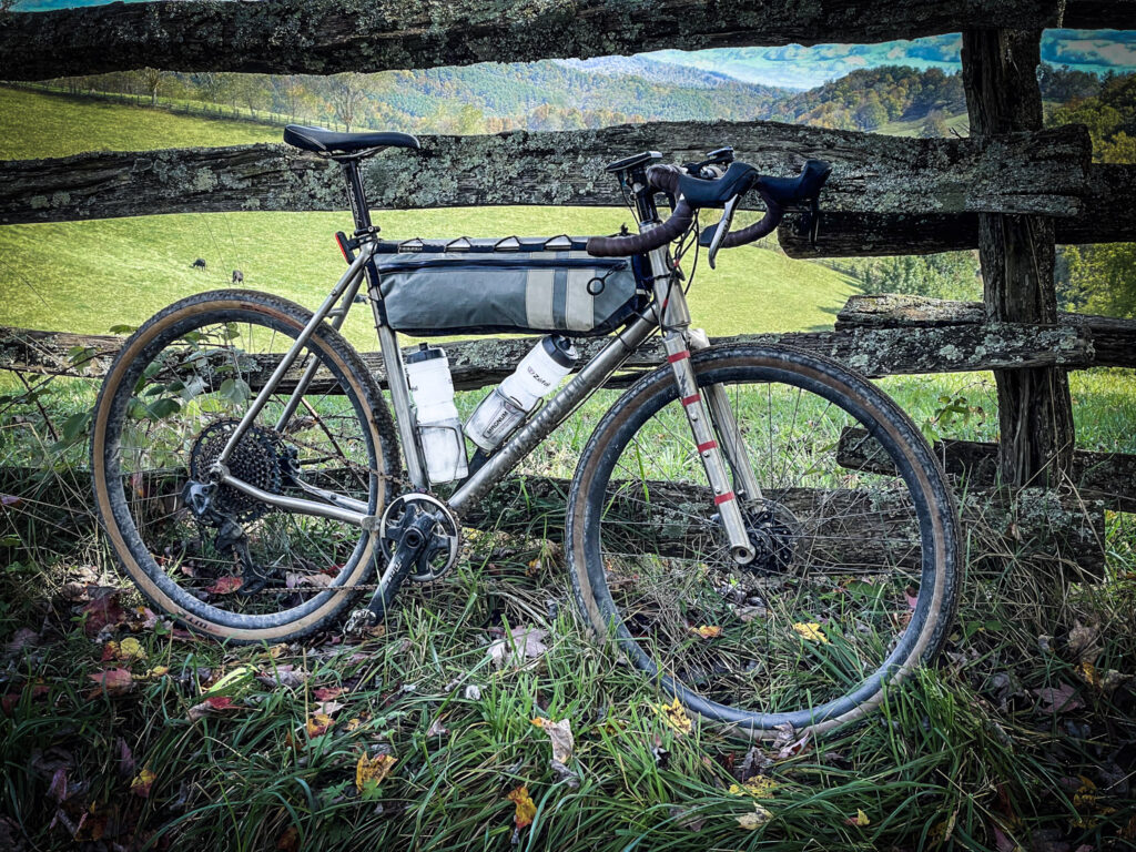
The Grayson Gravel Traverse is a hilly mixed-surface road route connecting the best dirt and gravel roads across Grayson County, VA. The optimal bicycle for this route is either a gravel bike or road bike with wider tire clearance (a mountain bike is also suitable–suspension not necessary). The unpaved roads are generally in good condition and non-technical in nature. All roads are legal for e-bikes and open for vehicular traffic between the two rail trails on the Traverse route.
The ideal bike would have these characteristics:
- Gravel tires: width of 38mm-45mm
- Low gearing: less than a 1:1 ratio of smallest chainring to largest cassette ring. Some climbs reach 15% grades for short stretches.
- Reliable, strong brakes (disc preferred). With steep downhill grades, be sure to test your brakes’ function well before attempting Grayson County’s hills.
Where to sleep, eat, resupply
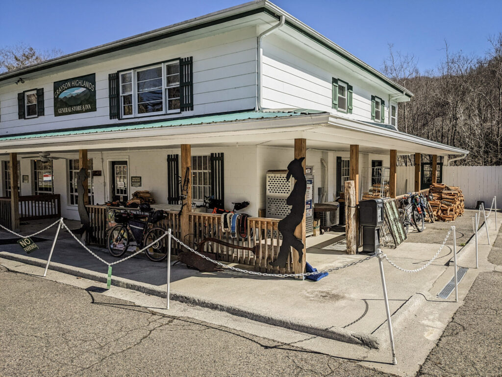
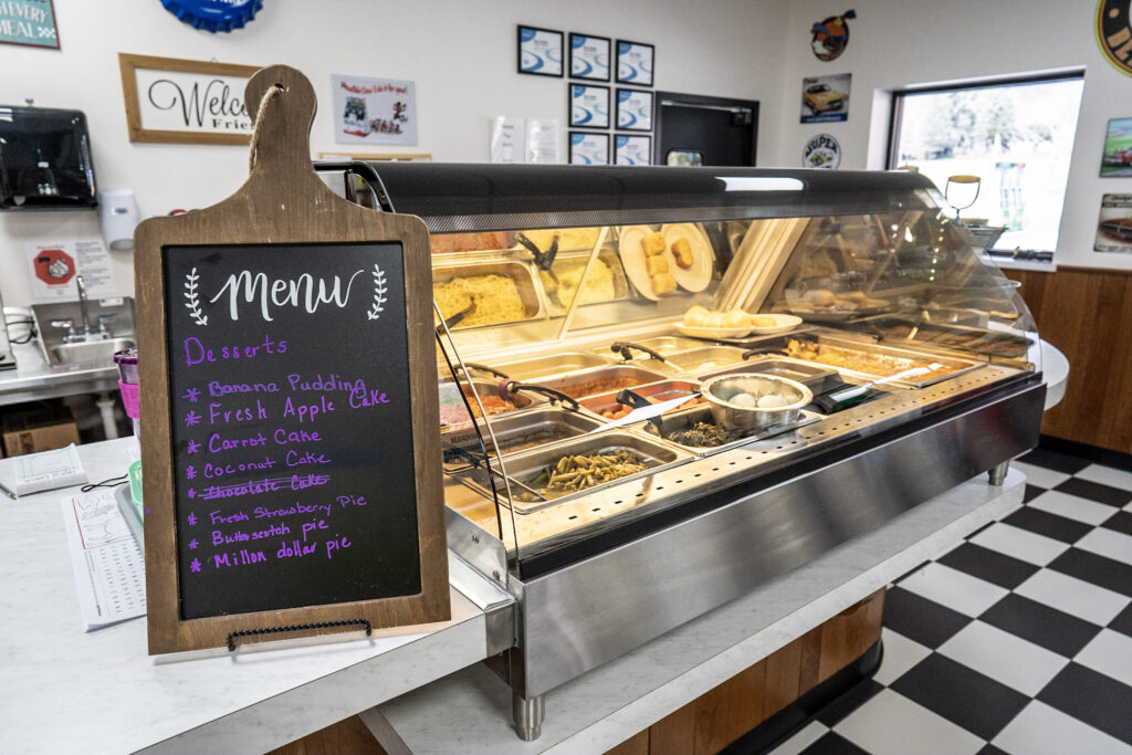
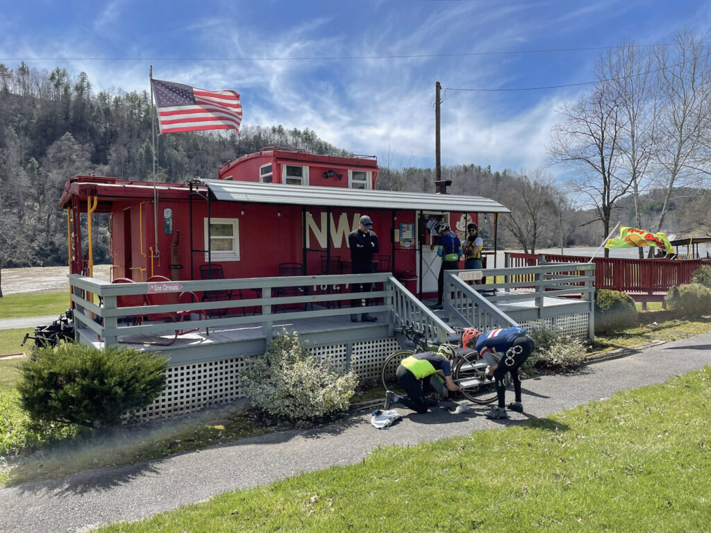
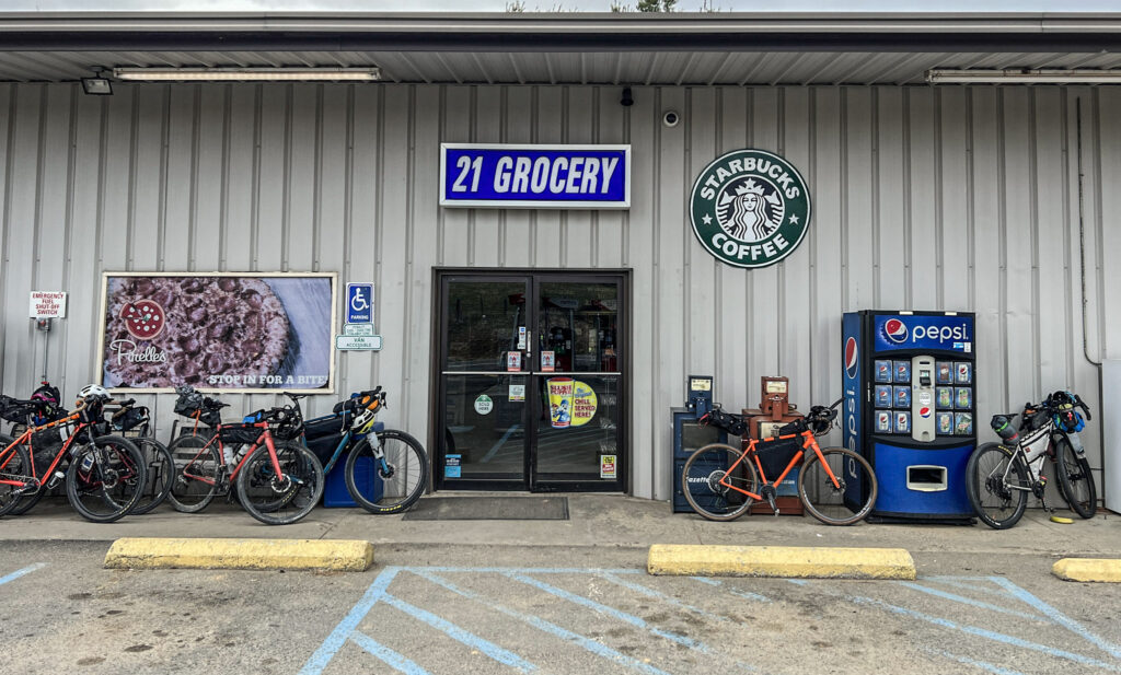
Most of Grayson County is rural with services primarily clustered along Rt. 58. AirBnBs and HipCamp locations farther from 58 offer additional options and unique experiences. All food services on route are on Rt. 58, a variety of country stores and convenience stores with restaurants at the Grayson Highlands General Store, Independence, and Fries.
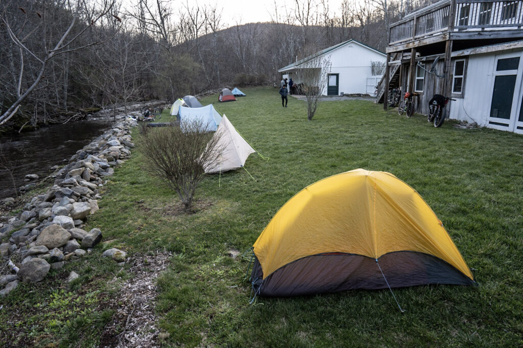
The route offers a variety of lodging and camping options, including hotels, guesthouses, B&Bs, and campgrounds (pricing and availability subject to change).
Overnight accommodations
- Mile 0: Whitetop Station AirBnB
- Mile 14: Tommy’s Bearwatch Cabin AirBnB (off route)
- Mile 19: Rugby Creek Cabins & Campground
- Mile 19: Grayson Highlands State Park (7 miles off route, closed 2025)
- Mile 21: Highland Hideaway Cabins
- Mile 21: Briar Run Cabin AirBnB
- Mile 21: Grayson Highland General Store & Inn
- Mile 32: Grayson Gravel Traverse Gem VRBO
- Mile 36: Sleep Fox Inn and Spa
- Mile 42: Stone’s Throw Cabin AirBnB
- Mile 44: Riverview Cottage on the New AirBnB
- Mile 44: Oracle Guest House
- Mile 53: Americas Best Value Inn & Suites (Independence)
- Mile 60: Handmade Hut in the Woods Hipcamp (off route)
- Mile 60: Gracies Bunkhouse AirBnB (off route)
- Mile 60: Healing Water Falls AirBnB (off route)
- Mile 66: Pa’s Place AirBnB (off route)
- Mile 72: Angels Rest AirBnB
- Mile 72: Nana’s Place AirBnB
- Mile 72: Riverview Place AirBnB
Camping
- Mile 1: Creeper Trail Campground
- Mile 19: Grayson Highlands State Park – Hickory Ridge Campground (off route)
- Mile 21: Grayson Highland General Store & Inn
- Mile 44: Oracle Guests Campground
- Mile 49: New River Campground (+1.5 miles)
- Mile 72: Fries New River RV Park (no tents)
Food, Water and Resupply
Food and drinks are available at various locations along Rt. 58:
- Mile 3: Railroad Market & Cafe
- Mile 21: Grayson Highland General Store & Inn
- Miles 53-54: Independence
- Angie’s Sip and Taste
- Aunt Bea’s BBQ
- Ciro’s Pizza and Subs
- Frosty Monkey
- Mi Casa Azteca
- Subway
- Food City supermarket
- Convenience stores
- Mile 72: Fries
Bike shops and services
There are no bike shops in Grayson County, with the closest bicycle shops and mechanics in Damascus, VA and Sparta, NC.
Safety considerations
Cycling involves inherent risks, and riders must assume responsibility for their own safety. Proper planning and precautions will help ensure a safe and enjoyable journey.
The Grayson Gravel Traverse includes a mix of paved and unpaved roads, all open to motor vehicle traffic. The primary risk to cyclists is motor vehicles. To improve visibility, especially in low-light or foggy conditions, wear bright or high-visibility clothing and use bothfront and rear lights.
Be especially vigilant on larger roads, particularly at rush hour and during peak tourism times. On remote gravel roads, be mindful that vehicles may not be expecting to see a bicycle!
Ensure your bicycle is in excellent condition before beginning your trip. This includes having effective brakes, durable tires, and a setup you’ve tested thoroughly under similar conditions.
Be aware of dogs; some may chase cyclists out of instinct. If confronted, stop and keep your bike between you and the dog—most will lose interest when the opportunity to chase ends. Watch for deer, particularly at dawn and dusk and on fast descents, as they may dart across roads unexpectedly.
Please note that much of Grayson County is remote, with limited or no cell phone coverage. Plan accordingly by bringing sufficient food, water, and supplies, and establishing meeting points in advance, assuming you may be unable to communicate by phone. Coverage improves east of Independence, particularly around the town of Fries.
Trip Itineraries
Grayson Gravel Traverse
Connecting Whitetop to Fries across Grayson County
72.3 miles / 6,877 ft
Route map and GPX at https://ridewithgps.com/routes/38628715
Traverse – Hotel Itinerary (3 days)
Averages 24 miles/day and 2292 feet/day
- Day 1: Whitetop to Grayson Highlands Inn: 21 miles, 2190’
- Day 2: Grayson Highlands Inn to Independence: 33 miles, 3302’
- Day 3: Independence to Fries: 18.5 miles, 1464’
Traverse – Hotel Itinerary (2 days)
Averages 36 miles/day and 3438 feet/day
- Day 1: Whitetop to Sleepy Fox Inn: 37 miles, 3838’
- Day 2: Sleepy Fox Inn to Fries: 37 miles, 3041’
Traverse – Hotel Itinerary C (1.5 days)
Averages 36 miles/day and 3438 feet/day with ⅔ of the route on the first day
- Day 1: Whitetop to Independence: 53.8 miles, 5413’
- Day 2: Independence to Fries: 18.5 miles, 1464’
Traverse – Camping Itinerary (3 days)
Averages 24 miles/day and 2292 feet/day
- Day 1: Whitetop to Grayson Highlands Inn: 24 miles, 2292’
- Day 2: Grayson Highlands Inn to Oracle Campground: 23 miles, 2429’
- Day 3: Oracle to Fries: 28 miles, 2319’
Traverse – Camping Itinerary (2 days)
Averages 36 miles/day and 3438 feet/day
- Day 1: Whitetop to Oracle Campground: 44 miles, 4558’
- Day 2: Oracle to Fries: 28 miles, 2319’
*The VA Creeper Trail between Damascus and Whitetop was significantly damaged in 2024 by Hurricane Helene including the destruction or severe damage of 31 trestles. Ride with GPS routes incorporate updated, necessary detours.
Grayson Gravel Long Haul
Abingdon to Pulaski: VA Creeper Trail + Grayson Gravel Traverse + New River Trail
148 miles / 11,260 ft
Route map and GPX at https://ridewithgps.com/routes/38659609
Long Haul – Hotel Itinerary (5 days)
Averages 30 miles/day and 2252 feet/day
- Day 1: Abingdon to Damascus: 16 miles, 789’
- Day 2: Damascus to Grayson Highlands Inn: 36 miles, 4580’
- Day 3: Grayson Highlands Inn to Independence: 33 miles, 3302’
- Day 4: Independence to Fries: 18.5 miles, 1464’
- Day 5: Fries to Pulaski: 38 miles, 1100’
Long Haul – Hotel Itinerary (3 days)
Averages 49 miles/day and 3750 feet/day
- Day 1: Abingdon to Grayson Highlands Inn: 52 miles, 5345’
- Day 2: Grayson Highlands Inn to Independence: 33 miles, 3302’
- Day 3: Independence to Pulaski: 64 miles, 3487’
Long Haul – Camping Itinerary (6 days)
Averages 25 miles/day and 1875 feet/day
- Day 1: Abingdon to Whitetop: 31 miles, 3155’
- Day 2: Whitetop to Grayson Highlands Inn: 21 miles, 2190’
- Day 3: Grayson Highlands Inn to Oracle Campground: 23 miles, 2429’
- Day 4: Oracle to Fries: 28.5 miles, 2331’
- Day 5: Fries to Millrace (Foster Falls): 21 miles, 554’
- Day 6: Millrace Campground to Pulaski: 24 miles, 811’
Long Haul – Camping Itinerary (3 days)
Averages 49 miles/day and 3750 feet/day
- Day 1: Abington to Grayson Highlands Inn: 52 miles, 5345’
- Day 2: Grayson Highlands Inn to Double Shoals primitive campsite: 55.6 miles, 5689’
- Day 3: Double Shoals to Pulaski: 40.6 miles, 1222’
Grayson Gravel Circuit
Loop route from Whitetop to Fries, with northern return via Comers Rock
143.4 miles / 14,699 ft
Route map and GPX at https://ridewithgps.com/routes/38660070
*This route has more challenging climbs and remote sections and is intended for experienced & fit riders.
*Some campsites are located off-route, adding distance and elevation. Check campground status and availability before your trip.
Circuit – Hotel Itinerary (3 days)
Averages 48 miles/day and 4900 feet/day
- Day 1: Whitetop to Independence: 53.8 miles, 5413’
- Day 2: Independence to Blue Springs Gap: 46.2 miles, 5080’
- Day 3: Blue Springs Gap to Whitetop: 42.3 miles, 4193’
Circuit – Camping Itinerary (6 days)
Averages 24 miles/day and 2450 feet/day, but three days with significantly more climbing
- Day 1: Whitetop to Grayson Highlands Inn: 23 miles, 2247’
- Day 2: Grayson Highlands Inn to Oracle Campground: 23 miles, 2429’
- Day 3: Oracle to Double Shoals (4.5 miles off route): 32 miles, 4300’
- Day 4: Double Shoals to Comers Rock (2 miles off route): 34 miles, 4250’
- Day 5: Comers Rock to Grindstone: 30 miles, 3638’
- Day 6: Grindstone to Whitetop: 16 miles, 1000’
Circuit – Camping Itinerary (3 days)
Averages 49 miles/day and 5840 feet/day
- Day 1: Whitetop to Oracle Campground: 45.2 miles, 4628’
- Day 2: Oracle to Comers Rock (off route 2 miles): 57 miles, 8250’
- Day 3: Comers Rock to Whitetop: 46 miles, 4638’
On The Map
Grayson Gravel Traverse Bike Route
The Grayson Gravel Traverse is a 72-mile mixed-surface gravel bike route that connects the Virginia Creeper Trail and New River Trail…